
BEYOND THE IRON CURTAIN, A RED LANDSCAPE

BY ZACH MORTICE
Lower Manhattan and Brooklyn, compiled in 1979 and printed in 1982. Image courtesy of John Davies and Alexander Kent, The Red Atlas.
A map of Vilnius, Lithuania, produced in Russia at the tail end of the Soviet era, details the speed of the Neris River?s flow (1.8 miles per hour), its depth and width, and that it had a sandy riverbed. In addition, it reveals the dimensions of a nearby bridge, what it?s made of (concrete), and how much it can carry (55 tons). Across the Cold War divide, on Western shores, Soviet cartographers still had a grasp of some of the minutiae that made up its sworn rival?s infrastructure. A 1980 map of San Francisco points out that the Oakland Bay Bridge is constructed of metal and rises between 171 and 213 feet above the water. One of perhaps a million maps made by the Soviets to secretly and conclusively chart the surface of the earth, it?s a relic from what might be the largest and most ambitious cartography effort in history. Though much of this story?s origins and methods are shrouded in secrecy, British authors and map enthusiasts John Davies and Alexander Kent have found a way to break open these mysteries with a beautiful and brief cartographic volume. Their book, The Red Atlas: How the Soviet Union Secretly Mapped the World (University of Chicago Press, 2017), focuses on how these maps were assembled in covert and overt ways, and how Davies and Kent decoded them, relentlessly tracing them back to their source documents.
A 199...
_MFUENTENOTICIAS
landscapearchitecturemagazine
_MURLDELAFUENTE
http://landscapearchitecturemagazine.org/
| -------------------------------- |
| Nendo designs five alternatives for the standard zipper |
|
|
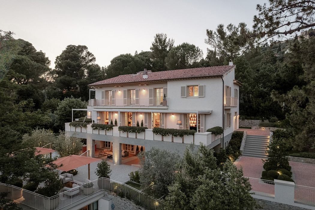
Villa M by Pierattelli Architetture Modernizes 1950s Florence Estate
31-10-2024 07:22 - (
Architecture )