HIGH FIDELITY
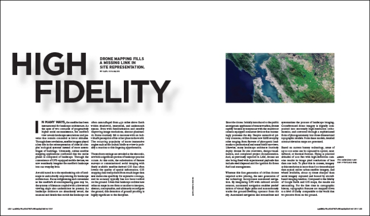
BY KARL KULLMANN
Drone mapping fills a missing link in site representation.
FROM THE MAY 2017 ISSUE OF LANDSCAPE ARCHITECTURE MAGAZINE.Â
In many ways, the satellite has been instrumental for landscape architecture. As the apex of two centuries of progressively higher aerial reconnaissance, the satellite?s view reveals landscape associations and patterns that remain concealed at lower altitudes. Through these revelations, satellite imagery played a key role in the reinterpretation of cities as complex ecological systems instead of mere assemblages of buildings. Ultimately, online satellite mapping applications confirmed that the entire planet is composed of landscape. Through the convenience of GPS-equipped mobile devices, we now seamlessly integrate the satellite?s landscape into our everyday lives. A world tuned in to the synthesizing role of landscape is undoubtedly empowering for landscape architecture. But as enlightening and convenient as the satellite?s all-encompassing gaze may be, the tyranny of distance coupled with a downward viewing angle also undermines its potency. As landscape architects are abundantly aware, the nuances and details that enrich the landscape are often camouflaged from 450 miles above Earth within shadowed, interstitial, and underneath spaces. Even with familiarization and steadily improving image resolutions, abstract planimetric forms routinely fail to resonate with an individual?s perception of his or her place in the world. The recurring p...
_MFUENTENOTICIAS
landscapearchitecturemagazine
_MURLDELAFUENTE
http://landscapearchitecturemagazine.org/
| -------------------------------- |
| Green village Road construction |
|
|
Villa M by Pierattelli Architetture Modernizes 1950s Florence Estate
31-10-2024 07:22 - (
Architecture )