
MIT Senseable City Lab maps Brazilian favela with handheld 3D-scanners
Researchers at digital laboratory MIT Senseable City Lab have used handheld 3D-scanning technology to analyse the architecture of Rocinha, Brazil's largest favela.
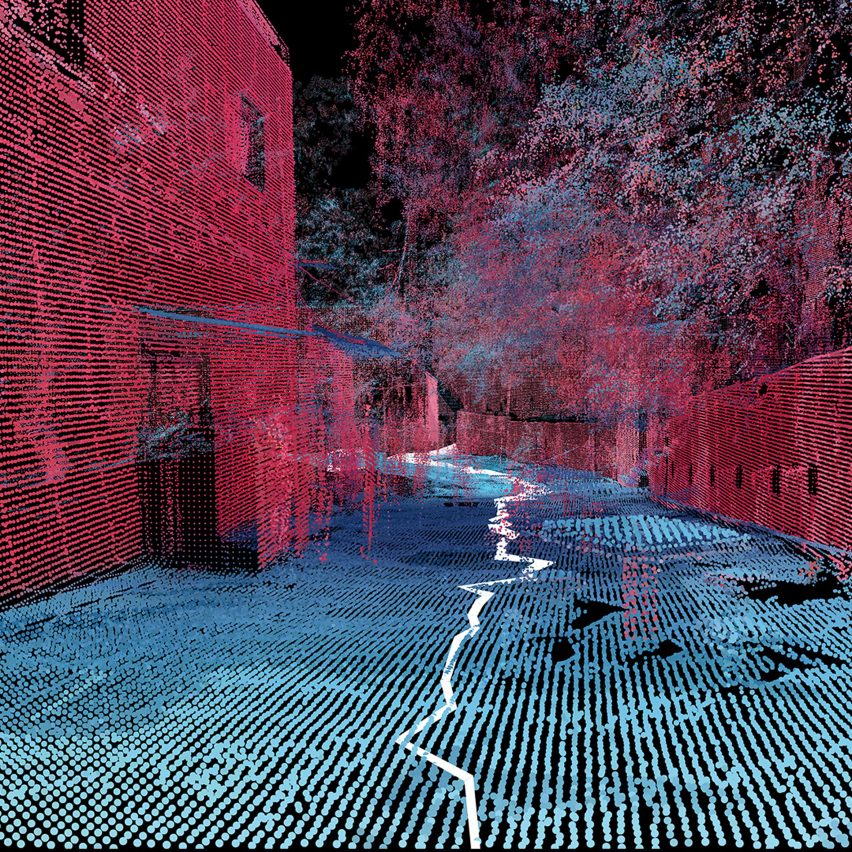
Called Favelas 4D, the project uses point cloud data from handheld Lidar (Light Detection and Ranging) scans in order to study the form of Rocinha, a favela in Rio de Janeiro. The low-income urban settlements have complex structures that are built by their inhabitants over time.
The project is a dataset of 3D scans
The project was led by the MIT Senseable City Lab and its director, architect Carlo Ratti, and completed in collaboration with Rio's City Planning Commissioner Washington Fajardo.
Fajardo entered Rocinha on foot and captured the data with a handheld LiDAR device that uses a laser pulse to measure distances. Tiny points are mapped to locations in space to create a dataset that reveals the intricate details of a 3D environment. Favelas 4D maps Rocinha, Brazil's largest favela
Ratti and MIT researcher Fabio Duarte explained the advantages of mapping Brazil's largest favela in this way, rather than using open-source mapping devices such as Google Street View.
"Street View technologies don't enter narrow alleys, improvised stairwells or stilt structures ? and these are common infrastructures in informal settlements," Duarte told Dezeen.
"Handheld LiDAR devices allow you to go everywhere. Also, they preserve a community's privacy, because you're not collecting actual images," he continued...
| -------------------------------- |
| Layer and Nio's intelligent Pal scooter learns your favourite routes |
|
|
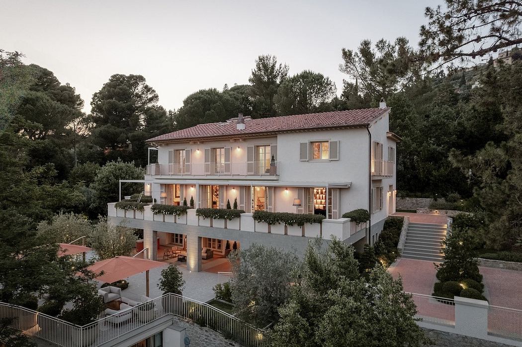
Villa M by Pierattelli Architetture Modernizes 1950s Florence Estate
31-10-2024 07:22 - (
Architecture )