PBWC Architects uses 3D lidar scan to win permission for Cornwall house
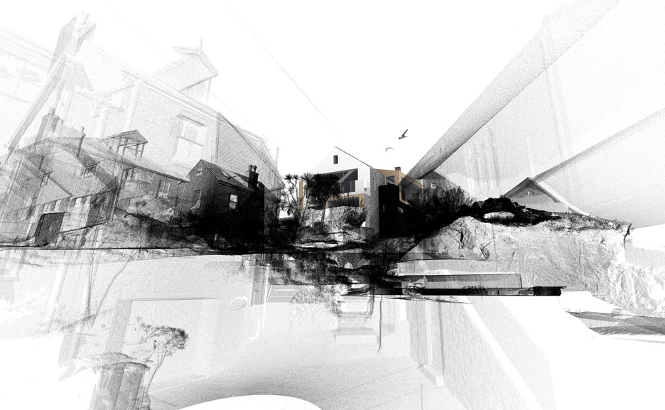
Cornish firm PBWC Architects has utilised 3D laser-scanning technology to create an accurate model of the rocky site and listed surroundings of a house for St Ives, which has just received planning permission (+ slideshow).
The local studio used the technology when designing the Rock House, a two-and-a-half storey replacement dwelling for a site on Carncrows Rock within the St Ives Conservation Area.
To obtain a digital model of the existing building and complex site, which includes a granite outcrop and adjacent Grade-II listed properties, PBWC architect Jacob Down asked CESurveys to take a lidar scan of the area.
"More conventional surveying techniques would have proved problematic with limited use and accuracy," said Down.
"The high level of contextual information helped foresee many planning-related issues resulting in smooth and successful planning outcome," added Down.
Related story: 3D scanning will be used to create "unique fitted clothing"
The lidar scanner fires tens of thousands of laser beams per second in almost all directions and records a point each time a beam hits a surface.
Multiple scans are usually taken from different viewpoints and stitched together, forming a 3D map made up of coordinate points with accuracies of up to 0.01 millimetres.
The map of the site, known as a pointcloud, was then combined with building information modelling (BIM) software to be used throughout the design process.
&qu...
| -------------------------------- |
| PRESENTACIÃN, Tutoriales de arquitectura |
|
|
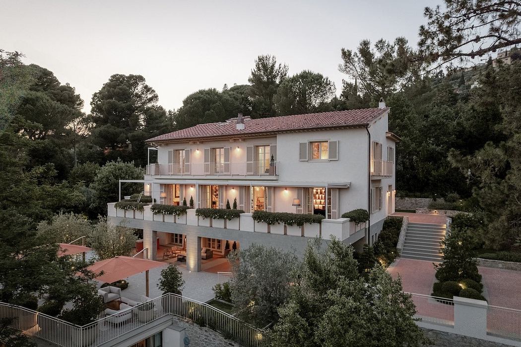
Villa M by Pierattelli Architetture Modernizes 1950s Florence Estate
31-10-2024 07:22 - (
Architecture )