Take a Look Through London's History with this Interactive Map

It's no secret that architects are often fascinated by maps, and in the age of Google - where access to accurate maps of almost anywhere in the world has become universal - maps have become one of the most powerful ways to understand our cities. Interestingly, Google has in a way enabled a new way to interrogate maps from the past, as historic maps can be more easily overlaid with the Google interface to make comparisons to the present day. That's just what the website Locating London's Past has done, creating a tool to compare three maps: the current version of Google Maps, the first Ordnance Survey map from 1863-80, and John Rocque's 1746 Survey of London, allowing web users to see the growth of the UK capital over the past 270 years.
via Locating London's History
It's no secret that architects are often fascinated by maps, and in the age of Google - where access to accurate maps of almost anywhere in the world has become universal - maps have become one of the most powerful ways to understand our cities. Interestingly, Google has in a way enabled a new way to interrogate maps from the past, as historic maps can be more easily overlaid with the Google interface to make comparisons to the present day. That's just what the website Locating London's Past has done, creating a tool to compare three maps: the current version of Google Maps, the first Ordnance Survey map from 1863-80, and John Rocque's 1746 Survey of London, allowing web users to see the growth...
| -------------------------------- |
| Adam Nathaniel Furman creates four-metre-high tiled Gateways installation for Turkishceramics |
|
|
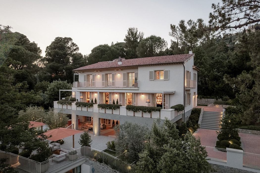
Villa M by Pierattelli Architetture Modernizes 1950s Florence Estate
31-10-2024 07:22 - (
Architecture )
Kent Avenue Penthouse Merges Industrial and Minimalist Styles
31-10-2024 07:22 - (
Architecture )


